GIS, Human Geography, and Disasters - Curtis Andrew
GIS, Human Geography, and Disasters - Curtis Andrew
AutorzyCurtis Andrew
Andrew Curtis is in the Department of Geography at the University of Southern California. Prior to this he was Director of the World Health Organization's Collaborating Center for Remote Sensing and GIS for Public Health at Louisiana State University. His research interests are centered around the geography of health, with a particular emphasis on spatial analysis and geospatial technology. During Hurricane Katrina he helped with geospatial support for search and rescue operations in the Louisiana Emergency Operation Center. He continues to work on various Katrina recovery projects, including developing new geospatial approaches that can empower the abandoned communities of New Orleans in the fight to reestablish their neighborhoods.
Jacqueline W. Mills is in the Department of Geography at the California State University at Long Beach. Her research interests are focused around Geographic Information Science (GISc) approaches to the study of natural disasters, particularly how places recover from these events and how people modify their environment to become disaster-resilient. Specific interests within this larger agenda include land use, health, policy, community participation through GISc, and geospatial risk communication. She continues to work in post-Katrina New Orleans, as well as in areas impacted by the 2007 Southern California wildfires.
In 2007, a team including Curtis and Mills were awarded the Meredith F. Burrill Award by the Association of American Geographers (AAG) for the LSU GIS Clearinghouse Cooperative – an important spatial data clearinghouse for Hurricanes Katrina, Rita and Wilma.
EAN: 9781934269862
Marka
Symbol
650FTN03527KS
Rok wydania
2009
Elementy
316
Oprawa
Miekka
Format
17.8x25.4cm
Język
angielski

Bez ryzyka
14 dni na łatwy zwrot

Szeroki asortyment
ponad milion pozycji

Niskie ceny i rabaty
nawet do 50% każdego dnia
Niepotwierdzona zakupem
Ocena: /5
Marka
Symbol
650FTN03527KS
Kod producenta
9781934269862
Rok wydania
2009
Elementy
316
Oprawa
Miekka
Format
17.8x25.4cm
Język
angielski
Autorzy
Curtis Andrew

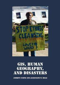
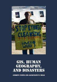
GIS, Human Geography, and Disasters is about people and places impacted by disasters. As geographers we emphasize the spatial, using maps to more fully understand the social processes at work. Topics covered include, "Social" GIS and disasters, spatial comparisons between disasters, spatial patterns in social and health vulnerability, post-disaster health, and neighborhood scale recovery. The book draws heavily from our ongoing experiences with Hurricane Katrina. However, we have written this book in such a way that instructors need not have personal experience with these events; nor is it vital that an instructor has experience with different geospatial technologies. The exercises included in this book can be used by students with GIS skills, but anyone with access to Google Earth and Google Street View can also benefit. We believe it is important to stress the human and the spatial, not just data and techniques. From the student's perspective, this is not a text full of dates or numbers to memorize. We want you to understand the social processes at work-linked by their geography.
Andrew Curtis is in the Department of Geography at the University of Southern California. Prior to this he was Director of the World Health Organization's Collaborating Center for Remote Sensing and GIS for Public Health at Louisiana State University. His research interests are centered around the geography of health, with a particular emphasis on spatial analysis and geospatial technology. During Hurricane Katrina he helped with geospatial support for search and rescue operations in the Louisiana Emergency Operation Center. He continues to work on various Katrina recovery projects, including developing new geospatial approaches that can empower the abandoned communities of New Orleans in the fight to reestablish their neighborhoods.
Jacqueline W. Mills is in the Department of Geography at the California State University at Long Beach. Her research interests are focused around Geographic Information Science (GISc) approaches to the study of natural disasters, particularly how places recover from these events and how people modify their environment to become disaster-resilient. Specific interests within this larger agenda include land use, health, policy, community participation through GISc, and geospatial risk communication. She continues to work in post-Katrina New Orleans, as well as in areas impacted by the 2007 Southern California wildfires.
In 2007, a team including Curtis and Mills were awarded the Meredith F. Burrill Award by the Association of American Geographers (AAG) for the LSU GIS Clearinghouse Cooperative – an important spatial data clearinghouse for Hurricanes Katrina, Rita and Wilma.
EAN: 9781934269862
Niepotwierdzona zakupem
Ocena: /5
Zapytaj o produkt
Niepotwierdzona zakupem
Ocena: /5
Napisz swoją opinię

